
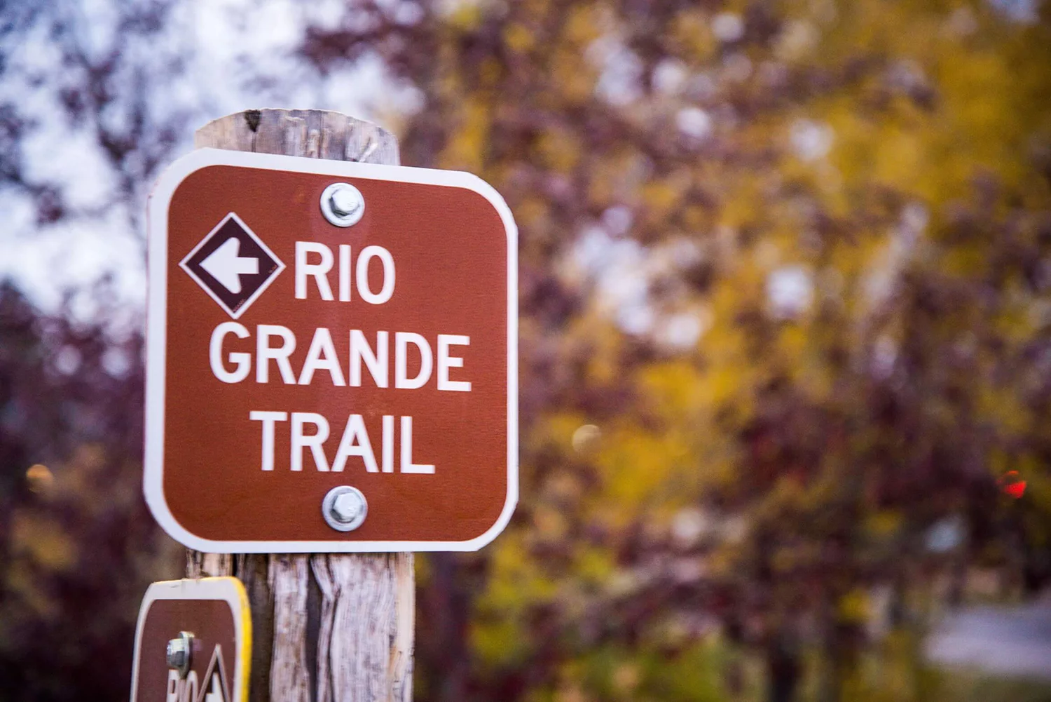

ABOUT THE RIO GRANDE TRAIL
The Rio Grande Corridor stretches from Glenwood Springs to Aspen, Colorado, and includes the Rio Grande Trail — a continuous multi-use trail for recreation, commuting, and connecting communities throughout the Roaring Fork Valley. Originally the Aspen Branch of the historic Denver & Rio Grande Western Railroad, rail operations in the corridor ended in phases between the 1960s and mid-1990s.
Today, the Roaring Fork Transportation Authority (RFTA) owns and manages the majority of the corridor from Glenwood Springs to Woody Creek, preserving it for recreational use and potential future transportation opportunities through its railbanked status. RFTA maintains the Rio Grande Trail in partnership with local agencies throughout the Roaring Fork Valley and is committed to ensuring the trail remains preserved for recreational use.
What to Expect on the Trail
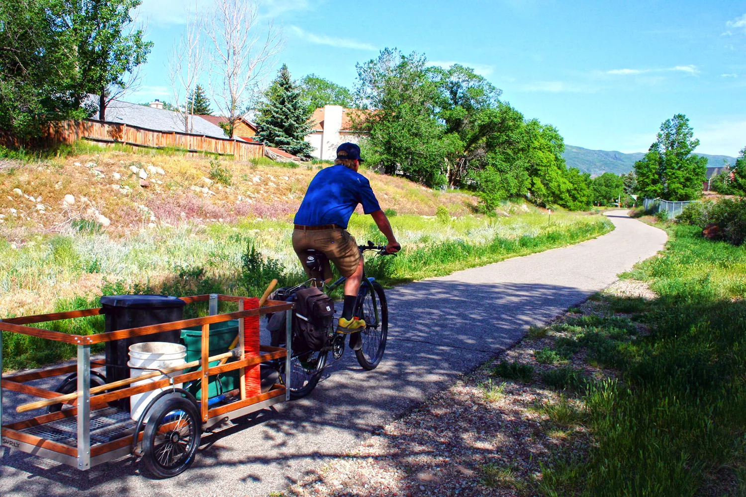
The Rio Grande Trail features primarily asphalt surfaces, with some sections of concrete and compacted gravel. The trail is generally 8–10 feet wide with soft-surface shoulders and is open to pedestrians, cyclists, wheelchair users, horseback riders, and other non-motorized users. Other Power-Driven Mobility Devices (OPDMDs) are permitted with restrictions.
Trail amenities include benches, picnic tables, trash and recycling receptacles, and dog waste stations at various locations. Potable water is available at the Basalt Trailhead near Basalt High School. Vault toilets are located near Cattle Creek and Catherine Store Bridge.
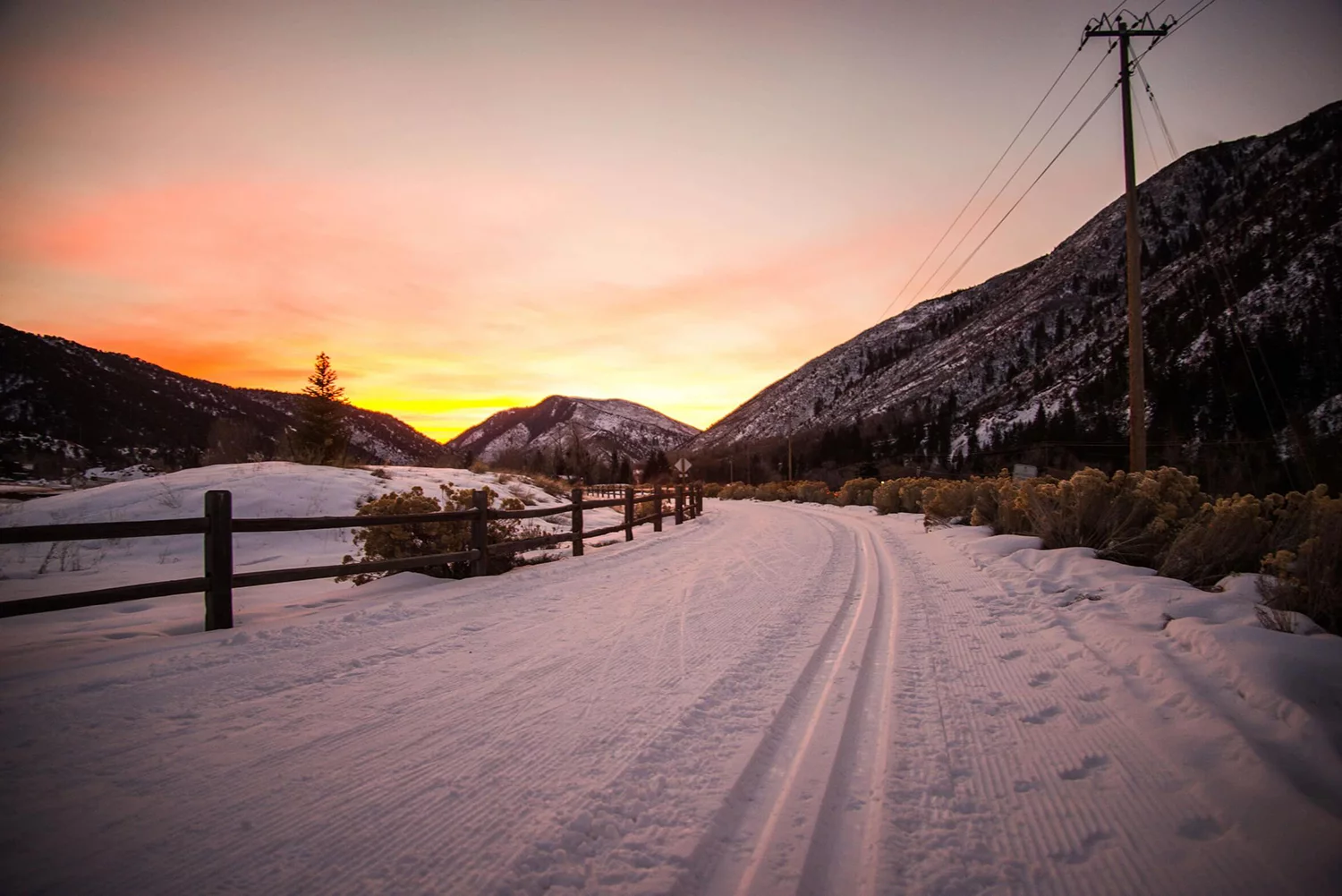
During winter months, sections between Glenwood Springs and Carbondale are plowed when snowfall exceeds 3 inches. Other sections may be groomed for cross-country skiing or remain unmaintained depending on conditions.
Rio Grande Trail Etiquette
- HORSES. Everyone yields to horses. Stop, step off the trail and talk to the rider. They will tell you when it is safe to pass.
- CYCLISTS. Ride at a safe speed, single file. Do not exceed 20 mph. Slow and announce yourself before passing. Ring your bell and inform pedestrians, “on your left.”
- PEDESTRIANS. Be alert. Keep headphones turned down so you can hear others.
- DOG WALKERS. Leash your pet and maintain control. You must carry a waste bag and put poop in a proper receptacle.
- EVERYONE. Keep to the right of the trail except to pass. If you must stop, step off the trail. Do not block the trail.

Slow & Say Hello! is part of a regional safety initiative to reduce multimodal conflicts and increase safe travel behaviors on our pathways. For more tips, visit slowandsayhello.co.
Trail Information, Rules & Policies
- RFTA maintains the Rio Grande Trail from 23rd Street in Glenwood Springs to the Pitkin County line at Emma Road in Basalt. For more information about this segment, visit rfta.com.
- The City of Glenwood Springs maintains the Rio Grande Trail from Two Rivers Park to 23rd Street in Glenwood Springs. For inquiries about this segment, contact the city or visit cogs.us.
- Pitkin County Open Space & Trails maintains the Rio Grande Trail from Emma Road in Basalt to Aspen. For inquiries about this segment, contact the country or visit pitkincounty.com.
- Two Rivers Park (Glenwood Springs) to Emma Road (Basalt): Class 1 and Class 2 e-bikes are permitted
- Emma Road (Basalt) to Aspen: Only Class 1 e-bikes are permitted
Please ride responsibly and follow posted trail signage and speed limits.
Keeps dogs leashed at all times along the Rio Grande Trail. Dogs are never allowed on the wildlife section between Rock Bottom Ranch and Catherine Bridge.
The Rio Grande Trail, between Rock Bottom Ranch and Catherine Bridge, closes seasonally from 5pm on November 30th until 5pm April 30th. A signed detour route will be in place between Hooks Lane Trailhead parking lot and the Catherine Bridge Trailhead parking lot during the period of the closure. The closure applies to all users of the trail and corridor, including anglers and hunters.
RFTA has restrictions to all trails built and maintained on the 34-mile rail corridor running between Glenwood Springs and Woody Creek.
Download our Special Events Application for proposed events on the Rio Grande Trail. For more information email rgt@rfta.com.
RFTA has a document listing the Rio Grande Corridor Rules on the
Use of Other Power-Driven Mobility Devices (OPDMD).
Grazing Goats on the Rio Grande Corridor
RFTA is trying to shift the paradigm away from spraying toxic and harmful herbicides and instead utilize goats to graze and build soil health through the lower 20 miles of the Rio Grande Corridor. The goats come back as a part of RFTA’s Integrated Weed Management Plan every year.